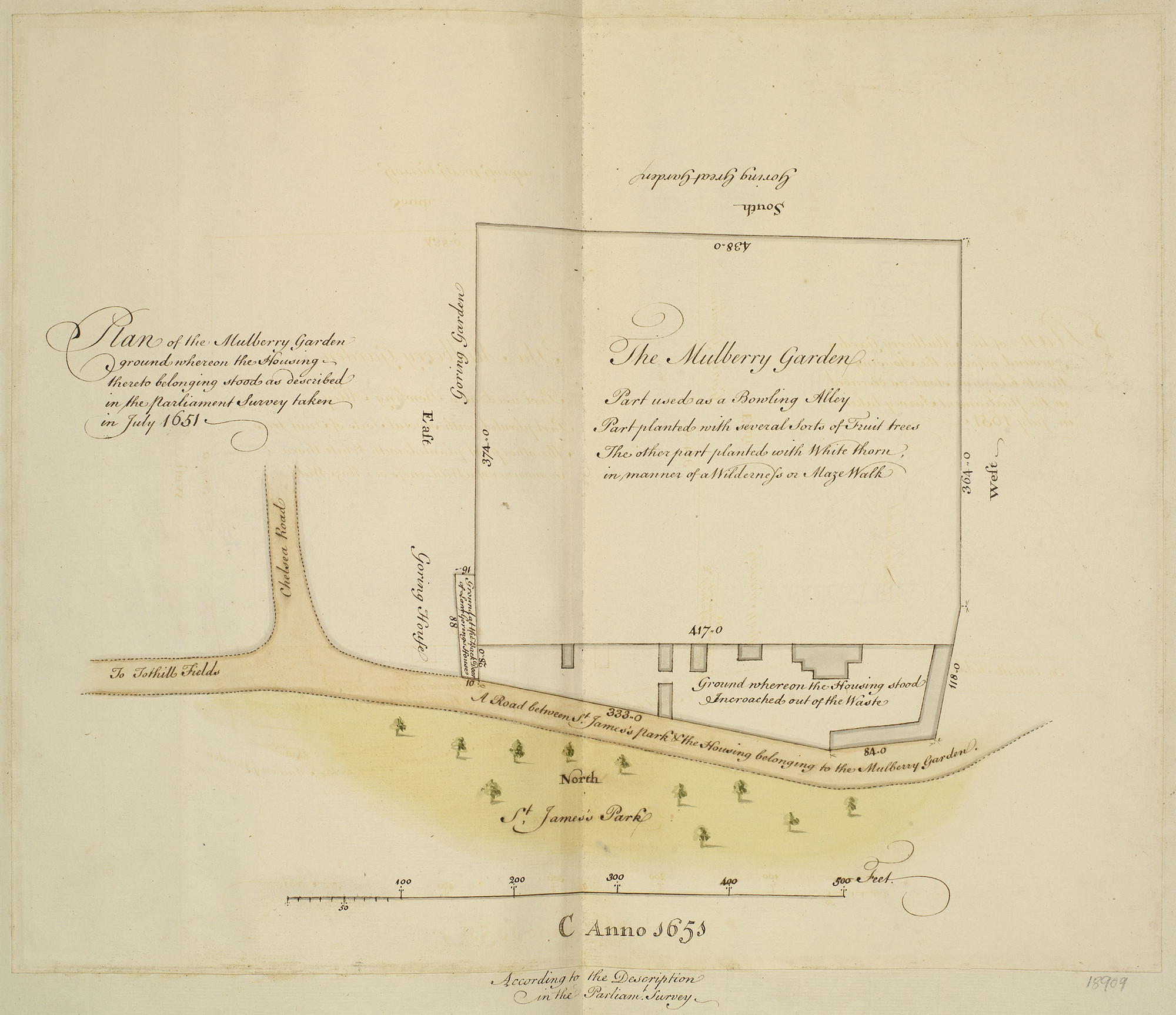
The Mulberry Garden: Plan of the Mulberry Garden whereon the Housing-thereto belonging stood as described in the Parliament Survey taken in July 1651
by a draftsman in the Office of Works: London
1651
Royal Collection Trust RCIN 918909
Map showing ground occupied by Mulberry Garden and bordered by Chelsea Road and St James's Park. From a volume of plans and documents copied by hand ca. 1762–1800 from records then in the Surveyor Generals Office.
The houses and garden should be labelled as being to the west of St. James's Park.
Royal Collection Trust / © Her Majesty Queen Elizabeth II 2022
The Royal Collection Trust permits non-commercial use of this image by the Grub Street Project for academic/scholarly publication and research. No copyright or proprietary right is conveyed with the use of the image, and it may not be passed on for third-party use. In certain other jurisdictions this image is considered to be in the public domain.